
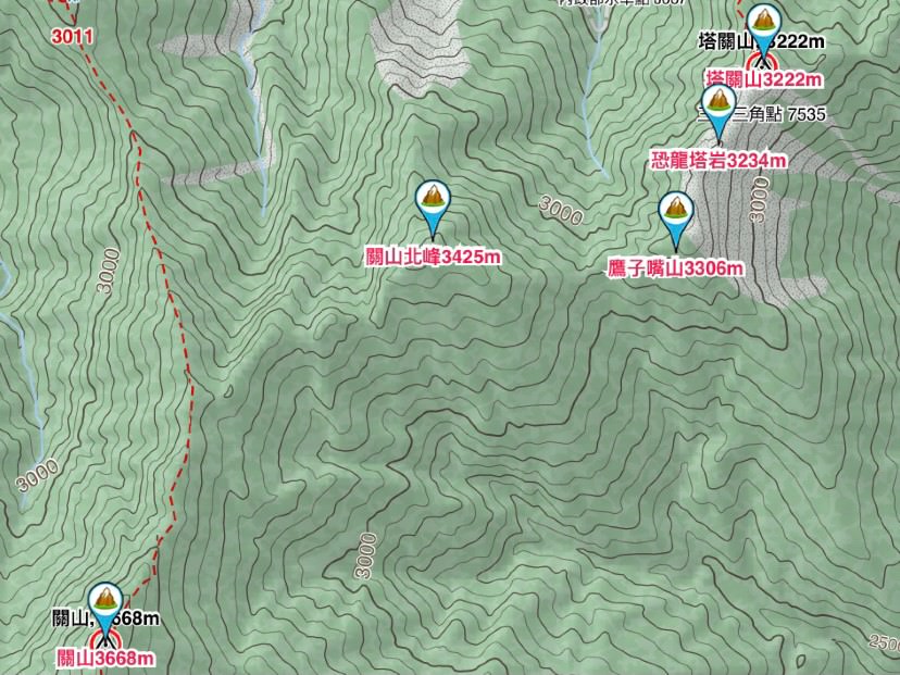
關山北峰(Mount Guan North Peak),標高3425m,位於南一段上,台灣275座高山百岳之一,山峰位於玉山國家公園區域内。鄰近的山峰中,西南邊為關山,東北邊為塔關山。根據2020年版上河文化高山百岳地形圖,百岳排名na/100,高山百岳排名071/275。
Mountain Guan North Peak, altitude 3425m, one of the Taiwan 275 alpine, located in Yushan National Park. According to 2020 Sunriver Map, it’s No. n/a in 100 Peaks Ranking, and No. 71 in Alpine Ranking.
| 【工商服務一下,閲讀以下之前,想邀請大家訂閲及追蹤,給予我鼓勵,謝啦!】 【Before start to read, welcome to follow and subscribe my platform as an encouragement for me, thanks! 】 ✔ 點擊追蹤(Click to follow) 法蘭怎麽玩(How Frank Play) Instagram ✔ 點擊追蹤(Click to follow) 法蘭怎麽玩(How Frank Play) Facebook ✔ 點擊訂閲(Click to subscribe) 法蘭怎麽玩(How Frank Play) Youtube Channel |
基本資料 Basic Information
| 中文名稱 Chinese Name |
關山北峰 | 英文名稱 English Name |
Mount Guan North Peak |
| 海拔高度 Altitude |
3425m | 里程 Mileage |
n/a |
| 百岳排名 100 Peaks Ranking |
na/100 | 高山百岳排名 Alpine Ranking |
71/275 |
| 行政區 Admin. District |
高雄桃源 | 所需天數 Days Required |
2-4日(住宿) |
| 所屬園區 National Park |
玉山國家公園 | 山系 Mountain Range |
中央山脈 |
| 入園證 NP Entry Permit |
需要申請,請按 Yes, please press |
入山證 Mountain Entry Permit |
需要申請,請按 Yes, please press |
| 相關路線 Related Route (n/a in English) |
西進:小關山林道(很不順路); 北進:中之關、天池; 南進:特生中心 路線開放查詢: https://npm.cpami.gov.tw/open.aspx |
||
| 相關步道 Related Trail (n/a in English) |
南橫三山與關山 | 4座(4百岳) 庫哈諾辛山、塔關山、關山嶺山、關山 |
|
| 南一段(傳統) | 9座(5百岳、4高山) 關山、卑南主山、卑南主山北峰、小關山、小關山北峰、海諾南山、庫哈諾辛山、馬西巴秀山基點峰、雲水山 |
||
| 南一段(全走) | 17座(7百岳、10高山) 關山、關山北峰、卑南主山、溪頭山、卑南主山北峰、小關山、小關山北峰、海諾南山、庫哈諾辛山、馬西巴秀山基點峰、雲水山 |
||
| 相關山岳 Related Mountain (n/a in English) |
關山、關山北峰、卑南主山、溪頭山、卑南主山北峰、小關山、小關山北峰、塔關山、關山嶺山、海諾南山、卑南主山南峰、塔關山北峰、庫哈諾辛山、卑南主山西峰、卑南主山東峰、馬西巴秀山基點峰、雲水山 | ||
| 相關山屋 Related Cabin Hut (n/a in English) |
庫哈諾辛山屋 | ||
2020上河文化高山百岳最新座標 Mount Coordination
| Coordinate | 緯度(lat) / 縱座標 | 經度(lng) / 橫座標 |
| 經緯度 TWD97/WGS84 度 (Lat & Lng) | 23.244696 | 120.926459 |
| 經緯度 TWD97/WGS84 度分秒 (Lat & Lng DMS) | 23.246468 | 120.918357 |
| 經緯度 TWD67 度 (Lat & Lng) | 2571587 | 241646 |
| 經緯度 TWD67 度分秒 (Lat & Lng DMS) | 23 14 47 | 120 55 6 |
| 二度分帶 TWD67 (Dichotomous zone) | 2571587 | 241646 |
| 二度分帶 TWD97 (Dichotomous zone) | 2571381 | 242475 |
| 座標轉換網站 (Unit conversion website) | https://www.sunriver.com.tw/taiwanmap/grid_tm2_convert.php | |
谷歌地圖 Google Map
| 關山北峰 Mount Guan North peak |
https://goo.gl/maps/ZsGQWXCvn2L9Ez7K6 |
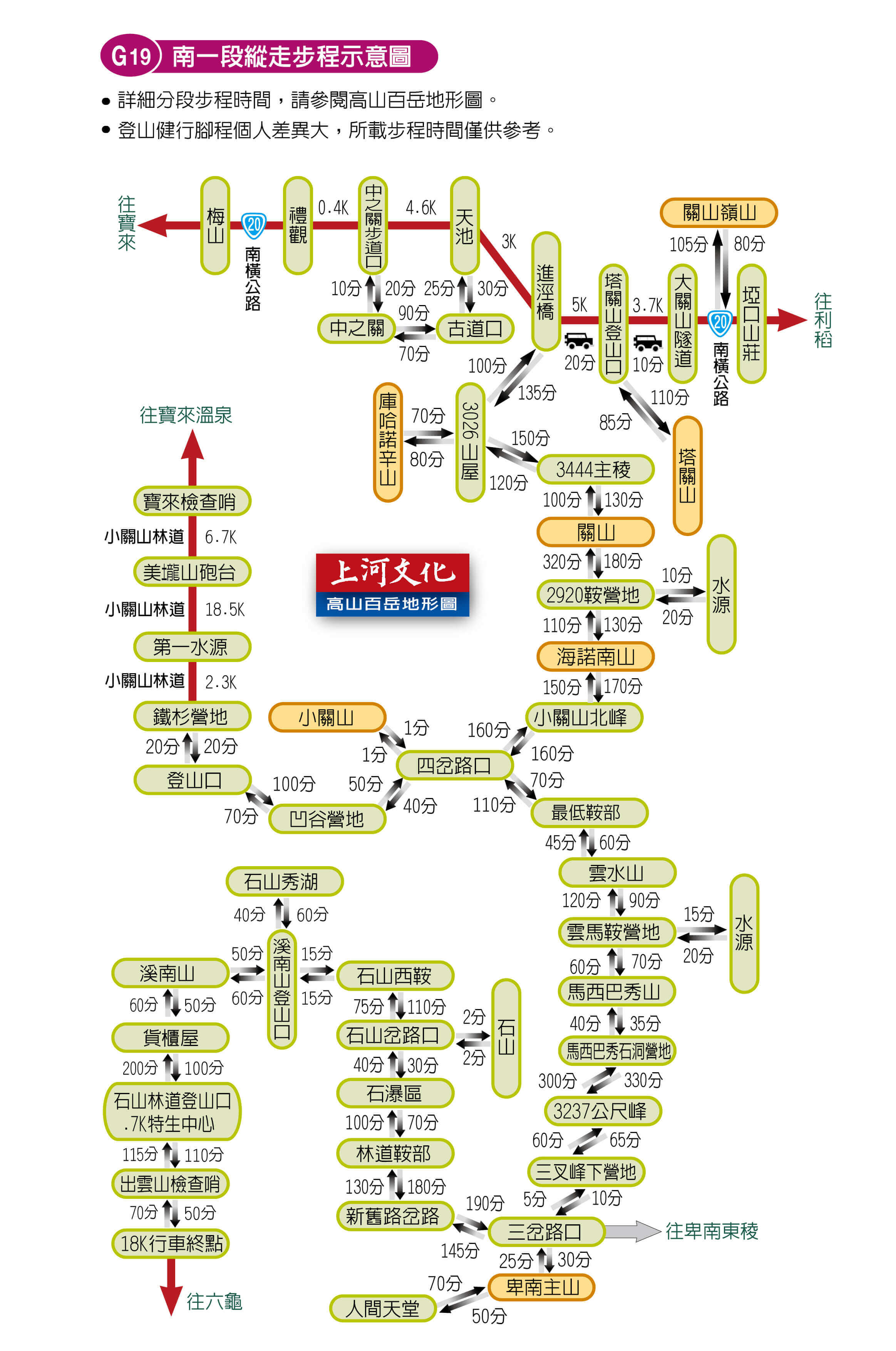
步程 Pace Needed
| 上河文化步程地圖 Sunriver Specific Area Pace Map |
https://www.sunriver.com.tw/images/hiking/G19_hiking.jpg |
| 2020上河文化全系列步程地圖 2020 Sunriver All Series Pace Map |
https://www.sunriver.com.tw/step2020.htm |
交通資訊 Transportation Information
| 開車 Self-drive |
尚未更新 |
| 公車 Bus |
【登山交通 | Hiking Transportation】公車登山資訊整理(高山百岳)The public transportation list for High Mountain (Alpine) in Taiwan – 法蘭怎麼玩 (94frank.com) |
| 租機車 Motorcycle Rental |
【登山交通 | Hiking Transportation】租機車登山資訊整理(高山百岳)The scooter rental list for High Mountain (Alpine) in Taiwan – 法蘭怎麼玩 (94frank.com) |
| 接駁資訊 Transport Booking |
尚未更新 |
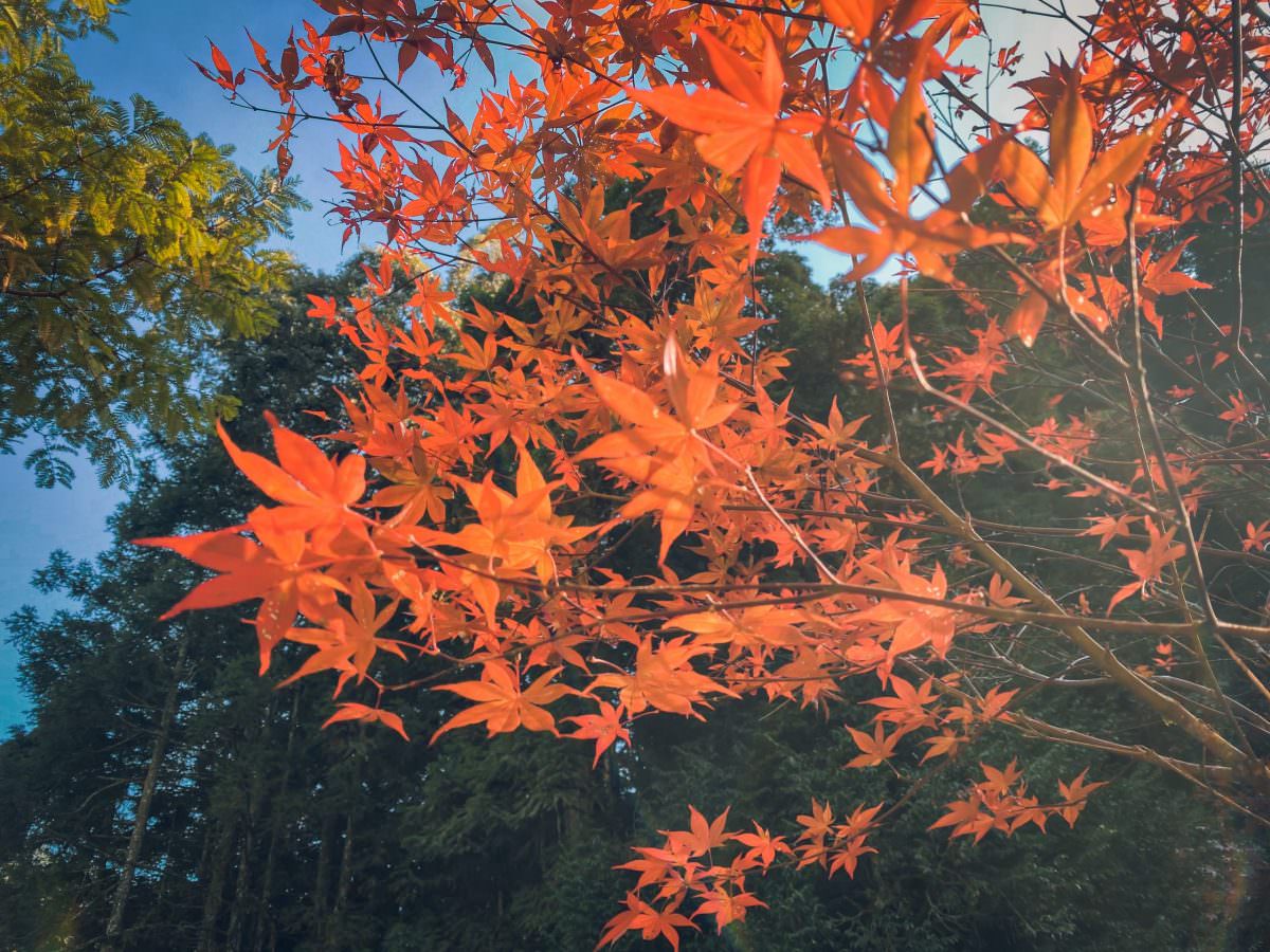
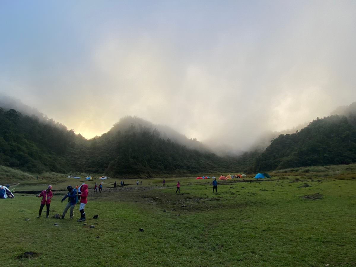
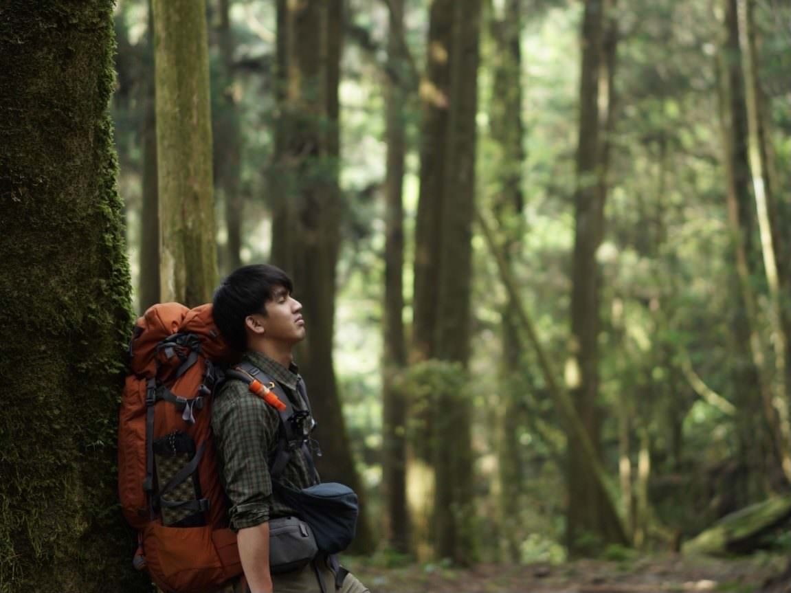
可參考照片 Related Photo
| 照片 Photo | 連結 Link |
| 關山北峰 Mount Guan North Peak |
Instagram 上的 #關山北峰 主題標籤 • 相片和影片 |
可參考文章 Related Article
| 部落格 Blog | 連結 Link |
| 陳宥伶 | 關山大斷崖之關山北峰連走鷹仔嘴山、恐龍塔到塔關山 – 健行筆記 (biji.co) |
可參考GPX Related GPX
| 航跡 GPX | 連結 Link |
| 尚無 | 尚無 |
可參考影片 Related Video
| 頻道 Channel | 連結 Link |
| 尚無 | 尚無 |
台灣高山百岳清單 Taiwan Alpine List
| 台灣275資料 Taiwan 275 Peaks Info台灣275資料: |
【高山百岳】上河文化2020年高山百岳地形圖|台灣275座高山百岳等你來完成!台灣268再加7了 – 法蘭怎麼玩 (94frank.com) |
*本篇非商業合作文章
* Non-commercial purpose article
花了很久的時間撰寫這篇文章,希望大家會喜歡。
It took a long time to write this article, I hope you will like it.
別忘了繼續鎖定我的部落格和社群平臺,按讚/訂閲/追蹤並分享,給與我一些支持吧!
Don’t forget to continue to follow my blog and social platforms, LIKE/SUBSCRIBE/FOLLOW and SHARE, give me some support!
主 | 跟戶外/旅游/美食/玩/一般生活歡迎關注【法蘭怎麽玩】:
Main | Outdoor/Travel/Food&Beverage/Play/Fun/Life 【How Frank Play】:
👉 法蘭怎麽玩 How Frank Play | 部落格 Blog
👉 法蘭怎麽玩 How Frank Play | 即時電報 Instagram
👉 法蘭怎麽玩 How Frank Play | 臉書 Facebook
👉 法蘭怎麽辦 How Frank Play | 優管頻道 Youtube Channel
次 | 更多關於隨意拍攝的記錄請關注【法蘭克隨機生活記錄】:
Minor | About Random Life Record 【Frank Random Life Record】:
👉 法蘭克 Frank | 部落格 Blog
👉 法蘭克 Frank | 即時電報 Instagram
👉 法蘭克 Frank | 臉書 Facebook
👉 法蘭克 Frank | 優管頻道 Youtube Channel